The Nature Conservancy uses DHIS2 to support conservation in Eastern Africa
DHIS2 is being used by two TNC Africa Programs for monitoring and evaluation, and tracking the engagement of beneficiaries
The Nature Conservancy (TNC), founded in the US in 1951, first brought its mission to “conserve the lands and waters on which all life depends” to Africa in 2007. TNC Africa now runs 14 programs in seven countries. It has grown by building strong partnerships with community-based organizations in each of its project areas.

A partnership-based approach
Partnering with other organizations allows TNC to pursue a holistic, participatory approach to conservation. Together with its dozens of community-based partners, TNC Africa supports local people to achieve healthier, more resilient communities and wildlife populations.
This “grassroots conservation” strategy has proven effective. TNC Africa’s multi-stakeholder initiatives have brought 22 million acres of land under conservation management, with projects that benefit over one million people in 2018.
But tracking the activities and outputs of logistically complex programming is not easy. How do you monitor progress towards goals pursued by geographically dispersed partners? How do you collect data gathered by different agencies, often working from remote areas, and share it with the donors and government stakeholders who require it? How do you keep partners and donors informed and engaged throughout the lifecycle of complex projects?
For two new TNC Africa programs, the answer to these questions involves DHIS2.
Bringing partners together with DHIS2
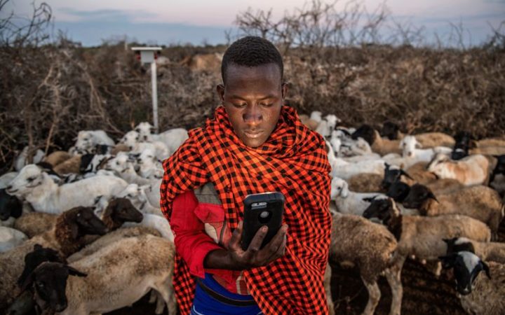
The Northern Tanzania Rangelands Initiative (NTRI) in Tanzania is the first of TNC Africa’s programs to adopt DHIS2 for monitoring and evaluation. A partnership of ten organizations, NTRI works with pastoralists and hunter-gatherers to secure land and resource rights, support effective local governance, and promote reproductive health, economic development, agricultural productivity and climate resilience.
In 2017, TNC reached out to LogicalOutcomes to set up DHIS2. To date, four NTRI partners report on several datasets: land use planning, land tenure security, governance and natural resource training, landscape-scale wildlife transects, and wildlife protection effort. A selection of analytical tables and maps are in use and help visualize results.
TNC administrators are pleased by how easy it is to access and export data. DHIS2’s mapping app is potentially of particular use to the conservation sector, where interventions might occur at thousands of points across a project area. TNC staff are enthusiastic about using the app to display spatial data such as showing the number of communities that have long-term land rights thanks to the project and communities with high human-wildlife conflicts.
Next steps for DHIS2 in conservation
TNC Africa’s newest implementation of DHIS2 applies the platform to an ambitious new multi-stakeholder watershed conservation effort: the Upper Tana-Nairobi Water Fund (UTNWF). UTNWF is a public-private partnership in Kenya. TNC and its partner organizations will help 30,000 hillside farmers in Kenya’s Upper Tana watershed to reduce sediment runoff, and improve rainwater conservation, crop yields, and downstream water supply.
TNC is now using DHIS2 to track beneficiaries’ engagement with the project and monitor activities and outputs over time. In this project too, the ability to display spatial data is a big plus. The water fund is helping upland farmers to install 5,000+ water pans and plant hundreds of thousands of trees. DHIS2 allows staff from partner agencies to capture the coordinates of each of these interventions from locations in the field and display the data points on maps.
To learn more about TNC’s work in Africa, visit www.nature.org/en-us/about-us/where-we-work/africa/


