Go to the main page

DHIS2 for Climate & Health

Building on DHIS2’s already flexible design to incorporate climate services and help break health and climate data out of silos to facilitate combined analysis and strengthen climate-resilient health systems

Jump to a section on this page

    Strengthening climate-resilient health systems

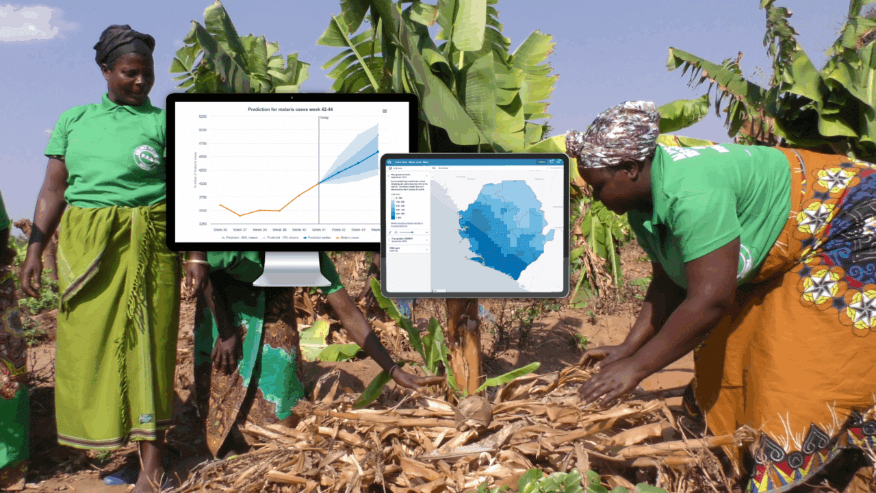
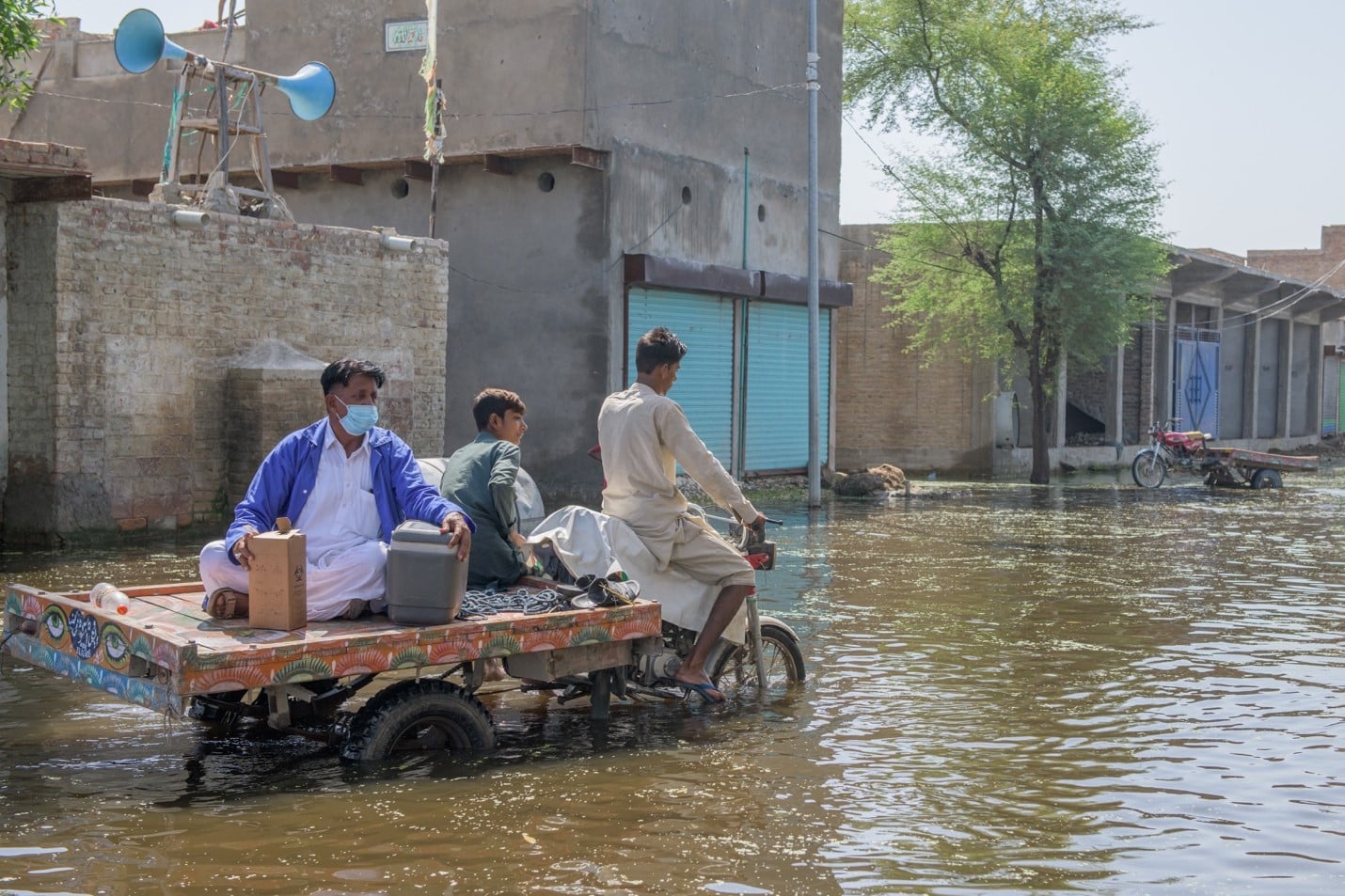
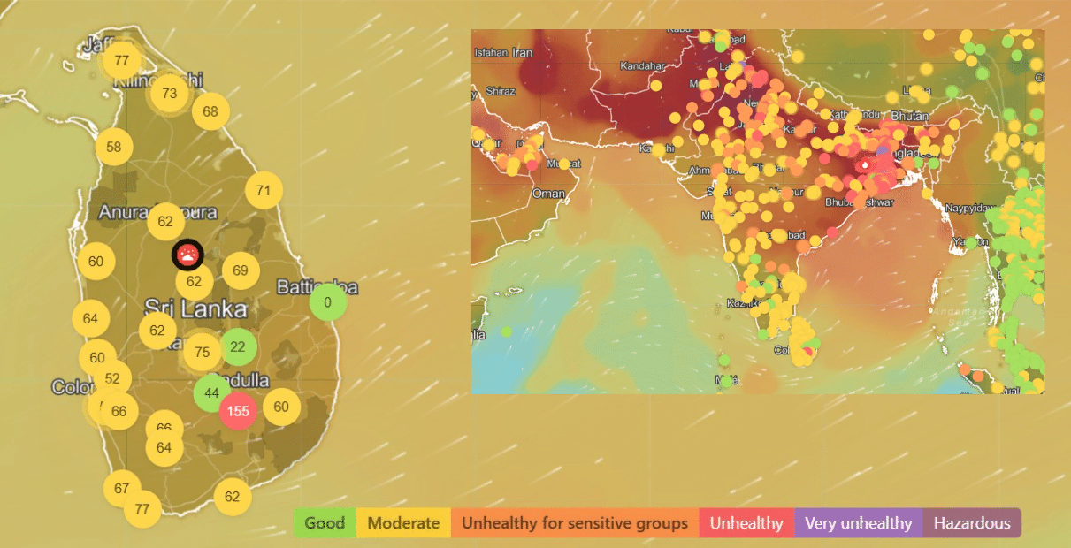
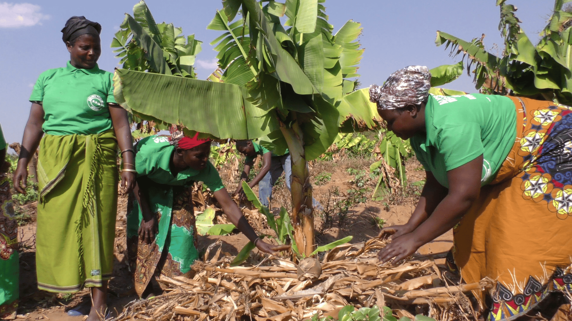
    The potential effects of climate change and related ecosystem disruptions are dramatic and wide-ranging, touching every part of life on our planet, including human health. In many health programs – such as infectious disease surveillance, maternal and child health, and nutrition and food security – health outcomes can be directly and indirectly impacted by environmental factors, including local climate variation and extreme weather events linked to global climate change. Urgent action is needed to protect at-risk communities and prevent negative health effects, particularly among populations most vulnerable to the impacts of climate change and variation on population health. Planning and prioritizing that action requires accurate and actionable data on the specific correlations between climate and environmental factors and health outcomes.
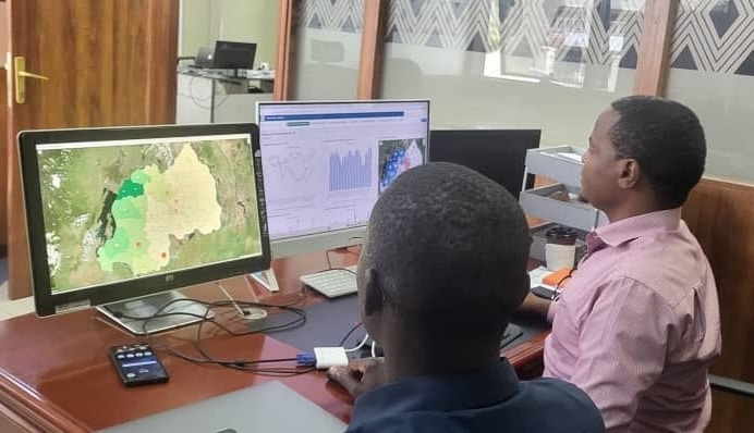
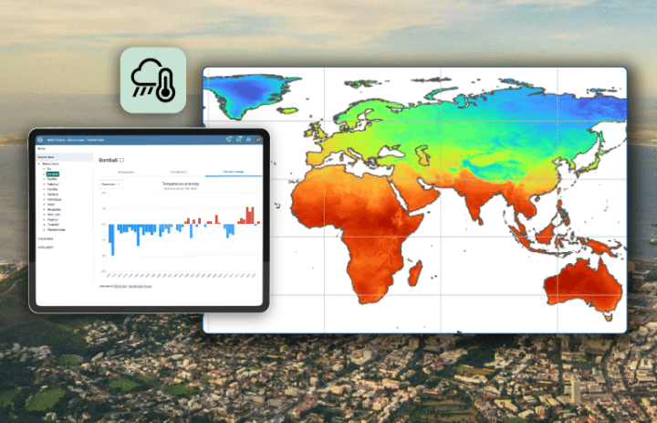
    To help strengthen the climate resilience of national health systems, DHIS2 for Climate & Health aims to enhance existing DHIS2 systems through the integration of climate, weather, environmental, and earth observation data; the development of Climate & Health analytical and modeling tools; and the design of data visualizations and dashboards to support effective and timely analysis and decision making in response to climate-sensitive health risks.
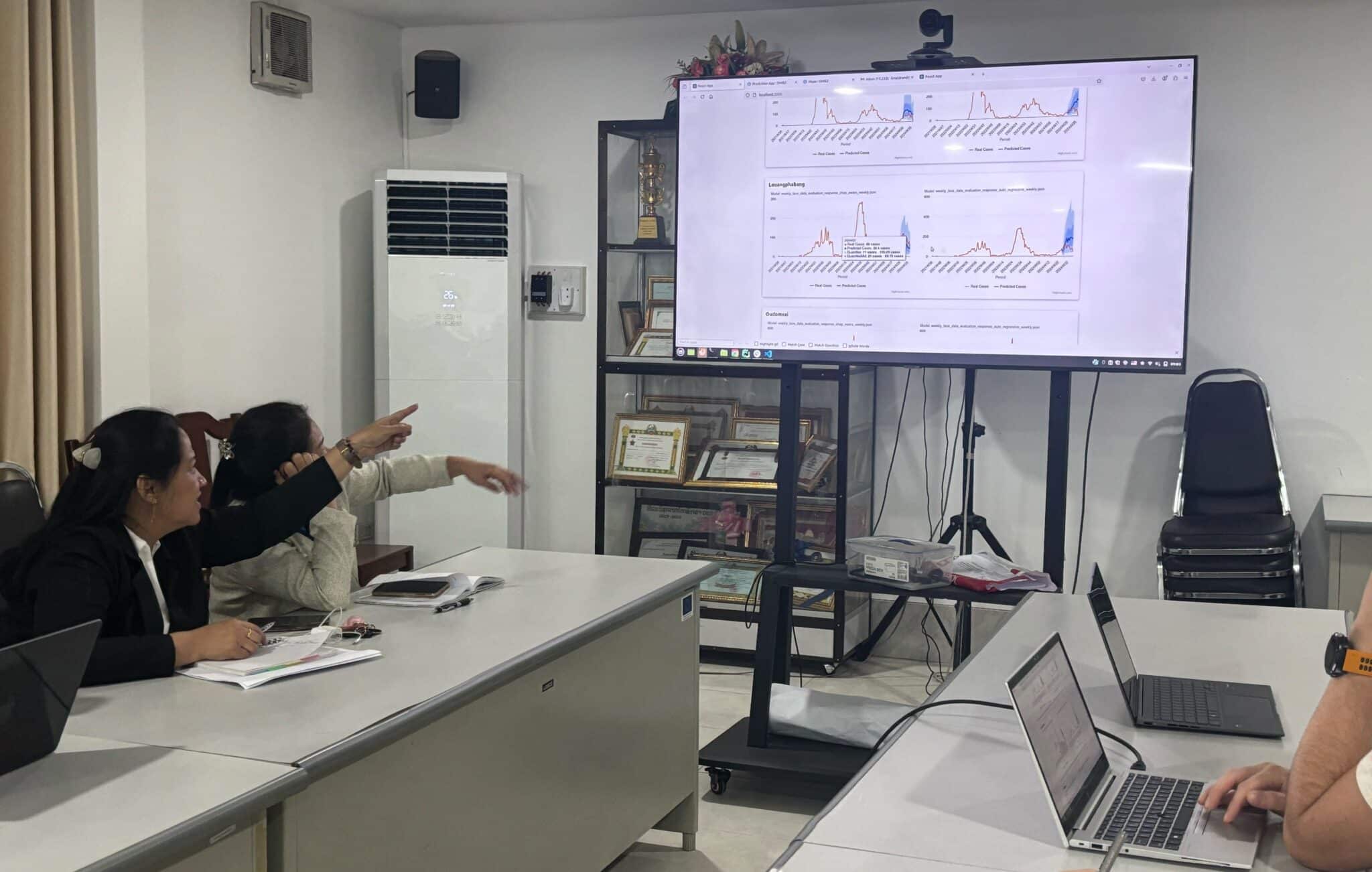
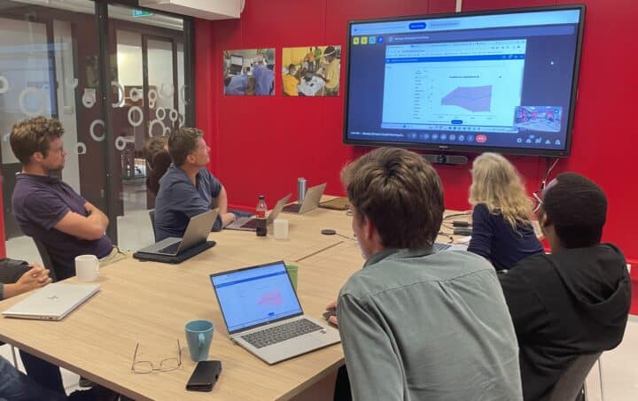
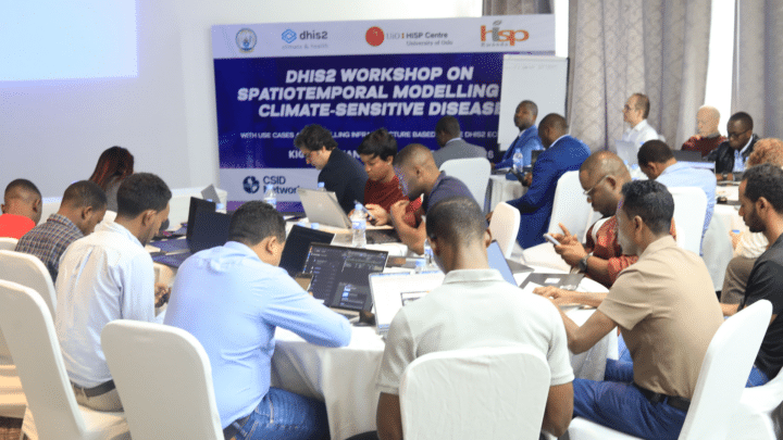
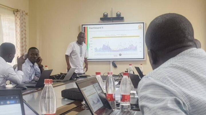
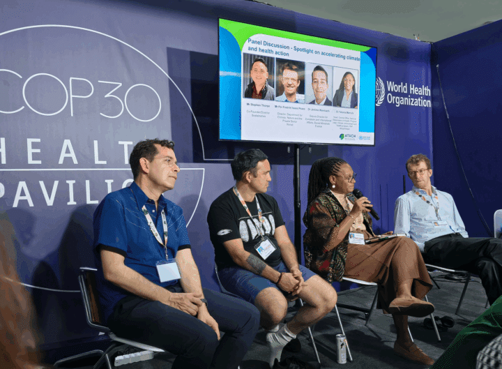
    Interested in using DHIS2 for Climate & Health? Get in touch with us at climate@dhis2.org

    How can climate data be used to enhance DHIS2 systems?

    Incorporating climate, weather, and environmental data into DHIS2 can help to close the data gap between climate and health and deploy sustainable digital systems that address local health priorities, provide evidence for national climate change adaptation and public health policies, and support effective health interventions to respond to climate-related health risks. Below are a few examples of potential Climate & Health systems supported by DHIS2, as well as DHIS2 features developed to support them. Learn more on the use cases and features page.

    Climate-sensitive diseases

    Early warning and response systems for climate-sensitive diseases, such as malaria, dengue, diarrhea, Zika, etc. This use case builds on existing disease surveillance systems to allow for triangulation or health and climate data to help predict outbreaks and the spread of diseases to new areas.

    Nutrition & food security

    Early warning and response systems for weather events and seasonal variation that affect crop production and prevalence of malnutrition. This use case builds on existing nutrition and agriculture systems to help plan mitigation actions, outreach activities, and resource prioritization.

    Extreme weather events

    Early warning and response systems for heat waves, floods, or other extreme weather events, linked to routine and emergency health programs. This use case builds on existing DHIS2 systems for routine service delivery and can expand DHIS2 systems for new data sources (non-communicable disease data, emergency response, etc.), to help plan mitigation actions, outreach for vulnerable populations and minimize routine service disruption.

    The following DHIS2 features and applications are available to support Climate & Health use cases:

    DHIS2 Climate Data App

    Pilot app to explore daily and monthly temperature, precipitation and humidity data for your organisation units. Import weather and climate data into DHIS2 data elements. The data source is ERA5-Land, which is considered the most accurate and complete global climate dataset available. Values are aggregated to DHIS2 organisation units on Google Earth Engine.

    Learn more

    Where is climate data used in DHIS2?

    Several countries have begun to explore the potential of incorporating climate, weather, and environmental data into DHIS2 systems. Explore the map below to see recent pilots and ongoing projects.

    Country Stories: Leveraging DHIS2 to bring climate and programmatic data together

    Read the stories below for examples from a selection of countries exploring the use of climate, weather, or environmental data in DHIS2 to improve outcomes in health programs and beyond.

    Mozambique: Malaria early warning

    Initial work has begun to add a Climate & Health early warning component to the Ministry of Health’s national DHIS2-based malaria information system. It uses malaria data (aggregate weekly cases at the district level) from the national DHIS2 database and weekly meteorological data (temperature, atmospheric pressure, and precipitation) from the Copernicus data set that is pulled into DHIS2 Maps via the Google Earth API. From DHIS2, this data is run through a statistical model that outputs malaria outbreak probability in 4- and 8-week predictions. These indicators are returned to DHIS2 where they are displayed on dashboards in several formats, including maps for geospatial analysis and a chart with an outbreak warning threshold (target line). The dashboards are customized at the district level to facilitate action in the form of local preventative measures. This system was initially developed through a Clinton Health Access Initiative (CHAI) project with technical support from Saudigitus (HISP Mozambique). It is currently in the development phase.

    Laos: Malaria & dengue early warning

    A pilot project between the Ministry of Health and the WHO country office has developed a pilot solution that combines climate and disease surveillance data in DHIS2 to give early warning of likely outbreaks of diarrhea and dengue. As part of this project, in 2021, Laos integrated its previous Access-based, parallel EWS called EWARS into DHIS2 to capitalize on the possibility for facilities to enact immediate electronic notification for suspected cases of notifiable diseases. Data used includes historical and current daily weather data (temperature, rainfall, humidity) from the national meteorological office that has been formatted to allow for correlation with aggregate notifiable disease data, which is collected daily and aggregated by week at the district level. The combined data is run through a statistical model in an external software package that returns outbreak prediction indicators to DHIS2 dashboards. HISP Vietnam has provided technical support for integrating these systems, and has helped facilitate a bilateral data sharing agreement between the Laos MoH and the Meteorology and Hydrology Department. This project is currently in the development phase.

    Lead farmers monitor crop development at a plantation in rural Malawi.

    Malawi: Agriculture & food security

    Malawi has deployed a DHIS2 system for climate-resilient food security. This DHIS2-based National Agriculture Management Information System (NAMIS) relies on partnership and data sharing between the MoH, Ministry of Agriculture, and Department of Climate Change and Meteorological Services (DCCMS). It involves collection of local weather data into DHIS2 by Agricultural Extension Development Officers using tablets running a custom app. This local data is combined with weather station and satellite data and used by DCCMS to make short-term and seasonal projections and forecasts, which the NAMIS system uses to generate early warnings to farmers about localized weather events such as floods or droughts so that they can take action to safeguard their crops. The data also helps the government plan special safety interventions like evacuations or large-scale irrigation which are beyond the capacities of individual households.

    Learn more

    A flooded residential area in southern Pakistan. Copyright: UNICEF/UN0696544/Zaidi

    Pakistan: Flood response

    Pakistan used DHIS2 for flood-related infectious disease response in 2022, which is an example of how existing DHIS2 systems can be leveraged for extreme weather events. This system helped provide a clearer picture of the impact of the flood on population health, and to inform investments in response activities and the distribution of hundreds of thousands of insecticidal nets, test kits, medicines, and other vital supplies. While this system did not include a predictive component, it could serve as the foundation for a climate-informed early warning system, assuming availability of relevant hydrology and climate data and stakeholder buy-in.

    Learn more

    Additional resources

    Explore these resources for more information about Climate & Health:

    DHIS2 Annual Conference C&H presentation

    An overview presentation from 2023 on using DHIS2 for climate and health.

    Watch on YouTube

    WHO C&H framework

    Fact sheet and additional resources on climate change and health from WHO.

    Read on WHO website

    Wellcome C&H Landscaping report

    Combining climate and health data: Challenges and opportunities for longitudinal population studies.

    Read on Wellcome website

    WMO 2023 State of Climate Services: Health Report

    Highlighting the need for tailored climate information and services to support the health sector in the face of more extreme weather and poor air quality, shifting infectious disease patterns and food and water insecurity.

    Read on WMO website

    WMO/WHO ClimaHealth

    Global Knowledge for Climate and Public Health – Informing action to protect populations from the health risks of climate change.

    Learn more

    Wellcome Modeling Landscaping Report

    Landscape mapping of software tools for climate-sensitive infectious disease modeling.

    Read on Wellcome website

    Current research projects

    Our work on DHIS2 for Climate & Health is organized through participatory action research projects. These projects feature collaborations between the global DHIS2 team at HISP Centre at the University of Oslo, our network of local HISP groups, national Ministries of Health and Meteorological Institutes and other local stakeholders, and an international network of academic institutions, research institutes, and global organizations. Our current research projects include:

    • Making an Impact on Climate & Health in LMICs with DHIS2: This multi-year action research project, funded by Wellcome, explores how LMICs can close the data gap between climate and health (C&H) and deploy sustainable digital C&H systems that address local health priorities, provide evidence for national climate change adaptation and public health policies, and support effective health interventions to respond to climate-related health risks. In this project, PhD students based in three LMICs will work alongside local HISP groups and country partners to collaboratively and iteratively develop DHIS2-integrated C&H tools and approaches that meet the needs of the local context and bring C&H systems to operational scale. Through this hands-on work, we will support the digitization of local climate data (where needed) and its integration with health data; help build local capacity for C&H system design, data analysis, and use; and share local innovations and generic tools to support global progress. Our partners in this project include the HISP network, the Global Health Resilience group at the Barcelona Supercomputing Center, the International Research Institute for Climate and Society (IRI) at the Columbia Climate School, and the CICERO Center for International Climate Research.
    • Predicting vector-borne disease (VBD) epidemics: Dissemination of risk forecasting using DHIS2 in Tanzania: A participatory action research collaboration to support efforts to promote public health in Tanzania through improved prediction of epidemic vector-borne disease (VBD) risks at local and national levels. Research objectives include identifying important climatic and socio-ecological drivers of vector distribution, abundance and disease transmission for different geo-spatial settings of the Unguja and Tanga regions in Tanzania; developing state-of-the art predictive models integrating vector ecological niche models and mathematical transmission models using identified predictors for timely recognition of epidemic VBD risks in Tanzania; establishing surveillance mechanisms for identified predictors, reporting modalities and develop an extensible application for model outputs within the DHIS2 platform for continuous monitoring, prediction and dissemination of epidemic VBD risk; and strengthening research capacity at south institutions, including south-south collaboration with a focus on molecular studies, data management, prediction modeling and systematic dissemination of data through DHIS2.
    • Making Climate Health Data Actionable: Monitoring Food Security through DHIS2 in Malawi: A three-year PhD action research collaboration between the HISP Centre at the University of Oslo and the University of Malawi, which will study the DHIS2 platform’s use by local authorities as a National Agricultural Management Information System (NAMIS), including the incorporation and use of climate and weather data.

    Learn, share and connect on the DHIS2 Community of Practice

    The Community of Practice (CoP) is the primary forum for DHIS2 discussions and support. The use of climate data in DHIS2 is a rapidly developing field, and the CoP offers a platform for experts from around the world to share innovative approaches, ideas, and needs. You can also use the CoP to ask questions, get support for technical issues, participate in webinars and other informational events, as well as connect with other members of the global DHIS2 implementer community working on climate-related projects.

    Join the conversation

    Support from global partners

    Our work on developing a Climate and Health toolkit for DHIS2 is funded by a grant from Wellcome, and builds on investments into DHIS2 as a platform for health information management from our network of global public health partners. The HISP Centre collaborates on this work with a global network of partners, including national Ministries of Health, Meteorological Institutes, and other local stakeholders; the HISP network; subject matter experts from the Global Health Resilience group at the Barcelona Supercomputing Center, the International Research Institute for Climate and Society (IRI) at the Columbia Climate School, and the CICERO Center for International Climate Research; and an interdisciplinary working group at the University of Oslo, with input and guidance from Climate & Health experts at the World Health Organization and World Meteorological Organization.