Agricultural systems depend on timely, integrated data to respond to climate variability, support farmers, improve productivity, and promote sustainable land use. Digital platforms like DHIS2 provide a powerful foundation for planning, monitoring, and evaluating agricultural programs, while enabling the integration of climate, environmental, geospatial, and field-level data.
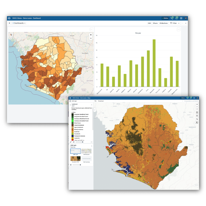
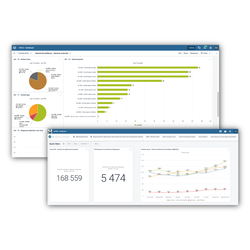
As a scalable and configurable platform, DHIS2 can serve as the backbone for national agriculture information systems, supporting use cases such as climate-smart agriculture, food security monitoring, animal health, geospatial productivity analysis, soil and land management, and agricultural sustainability initiatives like carbon farming. DHIS2 enables countries and organizations to combine aggregate indicators, geospatial data, and event-based field records in a single, interoperable system—supporting decision-making from farm level to national policy. It can also support cross-sector data sharing to facilitate One Health approaches to protect our ecosystems and address health challenges in an integrated way.
Across diverse contexts, DHIS2 is being adapted beyond health to support agricultural resilience, sustainability, and innovation, often in collaboration with ministries of agriculture, climate agencies, research institutions, and private-sector partners.