DHIS2 Climate & Health work in Uganda builds off existing DHIS2 infrastructure and capacity and incorporates innovative DHIS2 tools for climate data integration, analysis, and predictive modeling.
Health information systems & capacity
In Uganda, DHIS2 has been used by the Ministry of Health since 2013 as the country’s Health Management Information System (HMIS), their main data collection and aggregation tool and national repository for health data. The HMIS now holds almost 15 years of data on key public health programs. Uganda also uses DHIS2 for infectious disease surveillance, mortality data, nutrition programs, and for monitoring prioritized non-communicable diseases. HISP Uganda has supported local capacity building on these systems.
Through the DHIS2 Climate & Health project, HISP Uganda has worked on information outputs to support Uganda’s priority use cases, and is working to build capacity on use of climate-health tools and outputs.
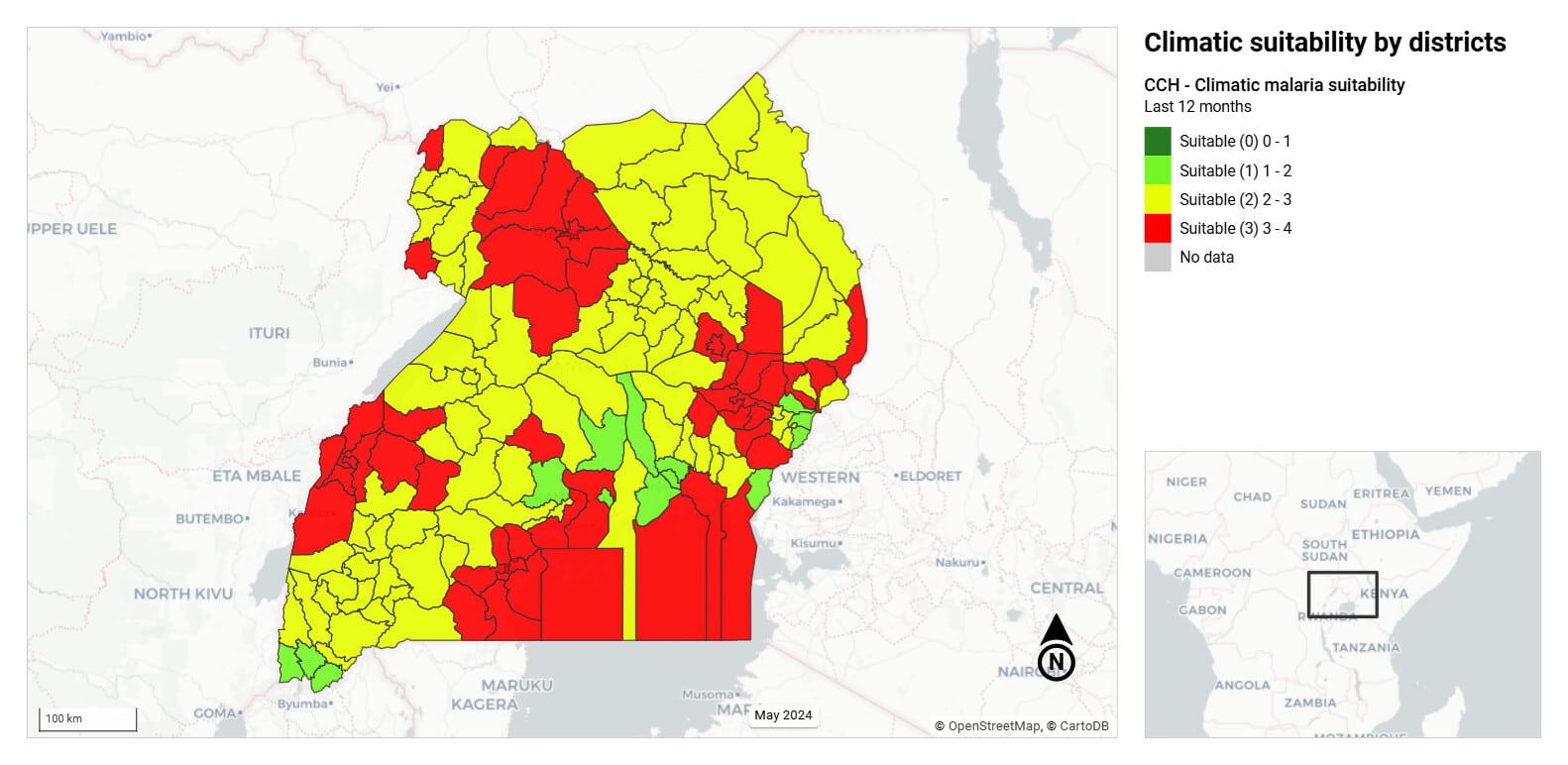
- Malaria suitability risk mapping leveraging the research-based approach implemented in the ENACTS MapRoom, implemented in the national HMIS system. This output is also available in the global DHIS2 Climate & Health demo database and has been adapted by other countries for their local systems.
- Malnutrition risk mapping using predictive models that incorporate population, malnutrition, disease and seasonality data to generate district-level risk maps and time-series visualizations in DHIS2 to inform planning and prioritization.
Climate data integration
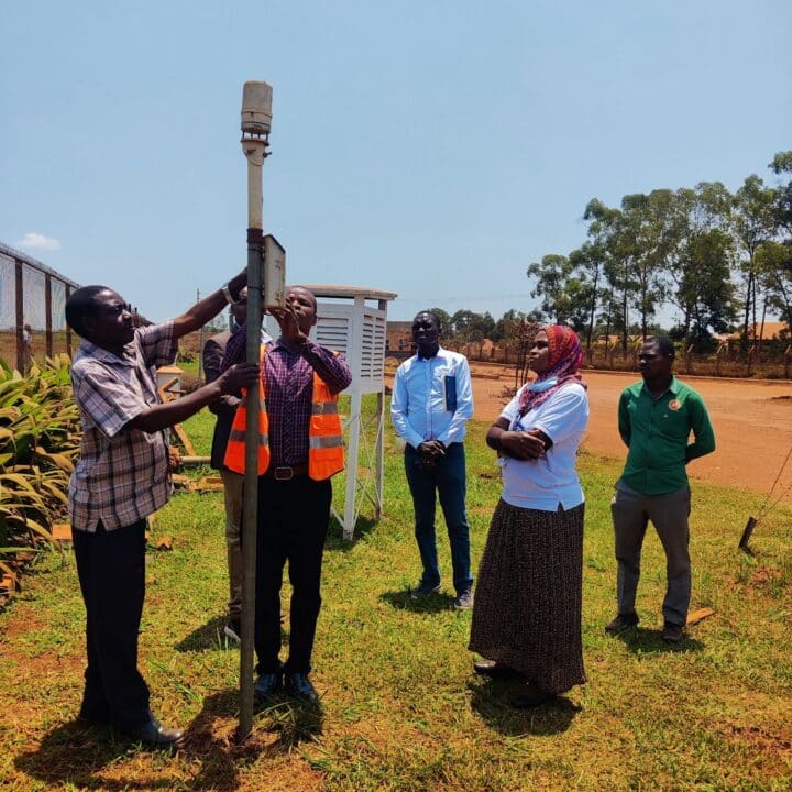
The DHIS2 Climate App has been installed in Uganda’s national HMIS and malaria repository systems with 10 years of imported data from global datasets such as ERA-5 and NASA earth observation data. These climate data sets have also been included in the malaria scorecard for Uganda produced by the African Leaders Malaria Alliance (ALMA). These global datasets have been validated through comparison with locally sampled climate data, ensuring contextual relevance and accuracy.
A collaborative framework and data sharing agreement between the Department of Meteorological Services (DMS) and the MoH has been approved, and technical meetings are ongoing to facilitate implementation, including the use of the ENACTS integration tool to enable import of data from Uganda’s national ENACTS MapRoom into DHIS2. Uganda has also begun testing the Open Climate Service platform for data integration.
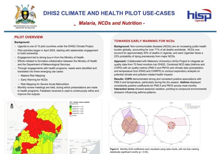
Additionally, real-time air quality data (PM10 and PM2.5) from Makerere University’s AirQo Project has been integrated into DHIS2. This collaboration on air quality has enabled integration of data from over 70 fixed air quality monitors across Kampala, Uganda’s capital. HISP Uganda is in the process of collaborating with CICERO on bias correction of this air quality data to develop a nation-wide gridded product.
Predictive modeling
The Chap Modeling Platform and DHIS2 Modeling App have been installed on Uganda’s HMIS DHIS2 testing instance, where it has been tested with climate data and approved by MoH leadership. It has also been installed on the malaria repository to enable modeling and testing with malaria intervention data.
HISP Uganda is collaborating with several local and international modeling partners to support development and testing of models for various climate-sensitive health threats in the Ugandan context. These include the University of Glasgow DIDIDI project for modeling of schistosomiasis, the Makerere University RIF project for developing DHIS2-integrated predictive models for maternal and child health, the Malaria Consortium FORECAST project for modeling vector borne diseases.