DHIS2 Climate & Health work in Malawi builds off existing DHIS2 infrastructure and capacity, facilitates interoperability with complementary systems, and incorporates innovative DHIS2 tools for climate data integration, predictive modeling, and dissemination of tailored outputs to key actors from national to community levels.
Health information systems & capacity
In Malawi, DHIS2 has been used by the Ministry of Health since 2012 (when it replaced the original DHIS system) as their Health Management Information System (HMIS), their main data collection and aggregation tool and national repository for health data, covering more than 60 health programs. Malawi also uses DHIS2 for routine disease surveillance, for community health programs through the iCHIS system, and as a One Health Surveillance Platform (OHSP). The Ministry of Agriculture uses DHIS2 for the National Agricultural Management Information System (NAMIS), which includes local weather data and data on agricultural production. These systems are owned and maintained by the MoH and MoA, with technical support from HISP UNIMA.
Through the DHIS2 Climate & Health project, HISP UNIMA has worked on several enhancements to Malawi’s DHIS2 systems:
- Sub-district-level data gridding for facility- and community-level catchment areas, using population data from WorldPop and custom data processing through DHIS2 Climate Tools to generate a more accurate representation of geographical location of malaria cases.
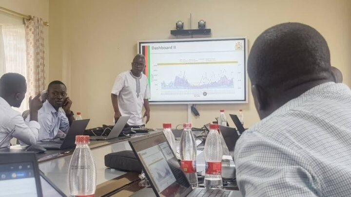
- Climate-informed surveillance products (Climate Bulletin) through a custom app in DHIS2, bringing together various data outputs for malaria, cholera, and other climate-sensitive diseases–including outbreak forecasts, recorded cases, health advisories, and weather forecasts–into an automatically generated report available as a dynamic dashboard and PDF for dissemination to district health managers and national staff.
- Climate- and AI-informed tasking for community health workers using a customized chat-bot interface through the iCHIS that provides guidance on potential actions to respond to climate-sensitive health risks.
Some key challenges that have been identified are the multiplicity of DHIS2 instances, which complicate solution deployment and threaten data integrity, and some gaps in the availability of weekly data for malaria.
Planned future enhancements and next steps include addressing temporal resolution discrepancies to create a “single source of truth” for surveillance data, and deploying the Analytics Platform to integrate data from various DHIS2 instances–and other systems such as EWARS–and enhance visualization capabilities.
Climate data integration
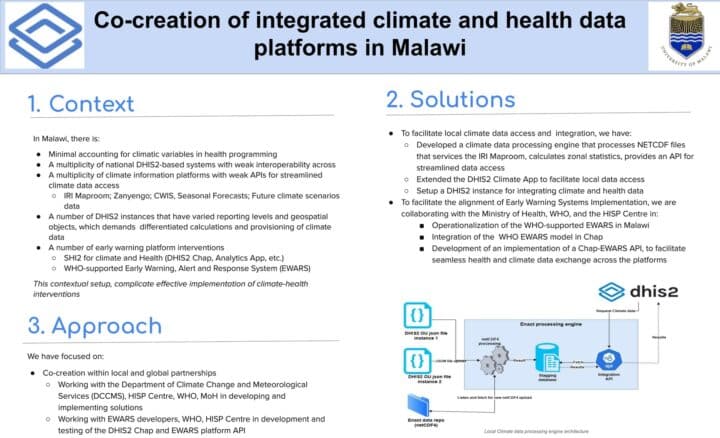
The DHIS2 Climate App has been installed in the national HMIS and iCHIS systems, and is undergoing testing and validation with local stakeholders, including with the WHO country office for key EWARS components. HISP UNIMA has worked with the IRI team to develop the ENACTS Data Sharing Tool (DST), which allows integration of local weather and climate data from Malawi’s ENACTS MapRoom into DHIS2. HISP UNIMA has also developed data harmonization engines for disease surveillance data that have been implemented through DHIS2 Climate Tools.
Next steps include operationalizing the Climate App across all national DHIS2 instances, and finalizing the disaggregation and harmonization of climate and environmental data from district-level to fine-scale community/village level data. Malawi has also begun testing the Open Climate Service platform for data integration.
Predictive modeling
HISP UNIMA has installed the Chap Modeling Platform and DHIS2 Modeling App on a DHIS2 testing instance and has tested the modeling framework for malaria case prediction with the National Malaria Control Programme. A series of models have already been developed and tested for accuracy and utility. HISP UNIMA has also Initiated EWARS-csd model testing via the DHIS2 Modeling App in collaboration with the WHO country office, and is working to develop a hybrid Chap-EWARS solution.